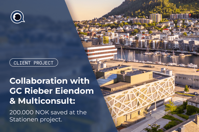
Collaboration with GC Rieber Eiendom and Multiconsult
Project Background
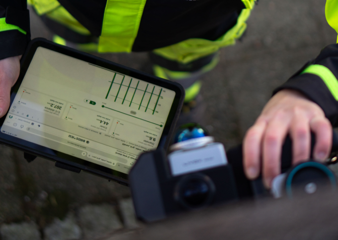
We’re proud to collaborate with Rieber Eiendom and Multiconsult on the Stationen project at Marineholmen in Bergen, where we had to document the thickness and rebar layout in floors and walls, and map culverts beneath the building. Instead of breaking up concrete floors and re-pouring them, we used our ground-penetrating radar (GPR) technology to map reinforcement and structures non-invasively.

Project insights
🔹 Mapped rebar in basement walls, floors, and ceilings
🔹 Detected culverts under the floor without excavation
🔹 Verified rebar spacing, diameter, and floor thickness variations
The impact
🔹 3–6 weeks saved
🔹 250,000–500,000 NOK in cost savings
🔹 Minimal disruption for tenants and ongoing building operations
«Breaking up the floor would have caused disruption for tenants, a lot of noise and dust, and damage to the floor. By using Birdsview, it was possible to minimize destructive interventions and avoid inconvenient downtime.» – Kenneth Lekva, Department Manager for Property Management at GC Rieber.